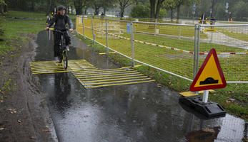
Allocating road space for walking and cycling

Implementing sustainable mobility
A thorough analysis will be conducted at city level regarding actual road functions and users.
This will focus on the central area situated in the proximity of the port, as well as on important centres of administrative, educational, commercial, and leisure activity in the city.
This will be done through an intensive data collection process that will includie the analysis of local urban development plans and the initial findings of the SUMP.
The aim of this measure is to define the primary function of streets in the city (both current and preferred).
Streets will be classified not only spatially but also temporally, as city centre streets can change function over 24 hours and appeal to different population segments.
The objective is to package Constanta's sustainability measures within this framework, thereby optimising the design and use of street space for all social groups and mode users.
Data collected will also serve as the basis for a plan on reallocating road space within Constanta city. This will focus particularly on road user safety and the sustainable growth of the city.
Prior to implementation, the strategy will be presented to local decision makers.