Image from Unsplash by Alex Vasey
Verviers (Belgium)
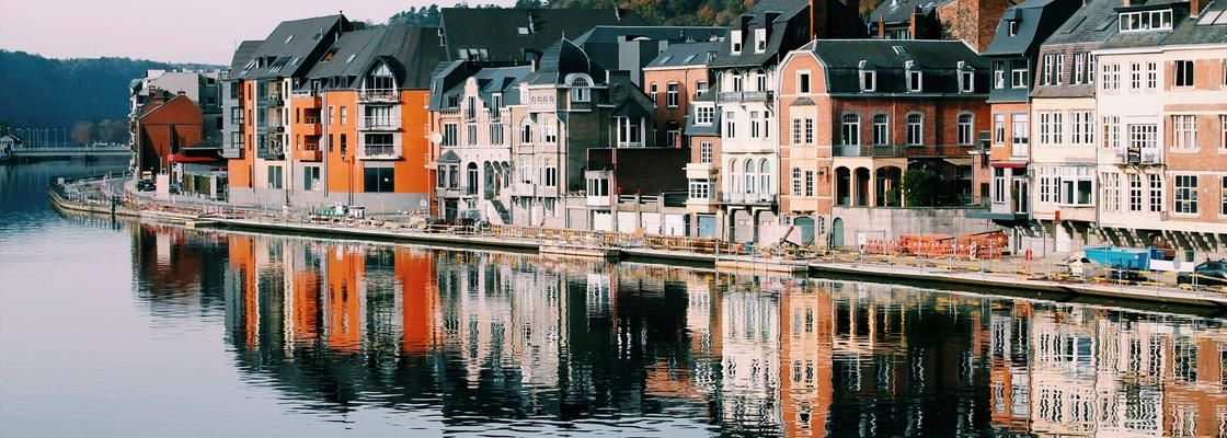
Verviers is a city in the Wallonia region of Belgium located in the province of Liège, situated along the Vesdre River with flat river valleys that influence its mobility planning and regional connectivity. The municipality has an estimated population of around ~55,700 and covers roughly 33 km², making it a mid-sized, dense urban area. Geography — especially the river corridor — shapes transport routes but also creates challenges for traffic flow and parking infrastructure in the historic centre. Verviers does not currently publish a dedicated Sustainable Urban Mobility Plan (SUMP) online in the same way many Flemish cities do, but it maintains a Plan Communal de Mobilité that provides strategic guidance on organising travel, parking, accessibility and sustainable transport, and frames actions for pedestrian, cycling and public transport improvements.
Mobility work is embedded within broader sustainability planning including the city’s Plan d’Action en faveur de l’Énergie Durable et du Climat (PAEDC), which links cycling networks, parking strategies, public-transport integration and electric vehicle infrastructure to climate objectives.
Verviers also participates in regional cycling and Wallonia’s network planning for 2040, which aims to strengthen long-term bike connectivity.
Fast Facts
55,700
Population
33 km²
Area


